Technology Portfolio

Three platforms and two active research projects, fusing in-situ ocean observations with Earth Observation and edge computing.

MISS-2026-03-OCEAN-01

This portfolio is shared in the context of the Horizon Innovation Action for large-scale marine habitat mapping under the Nature Restoration Regulation. We bring an operational edge-to-cloud data platform, active kelp and seaweed research, and Copernicus EO integration — positioned as the technical data backbone for a multi-site Atlantic basin consortium.

Objective

Large-scale mapping of EUNIS marine habitats — seagrass, kelp, shellfish beds, coral reefs — to meet NRR Annex II obligations.

Scale

€7.0–7.75M per project, 4 projects funded (one per Mission basin). Deadline 23 September 2026.

Requirements

≥4 demo areas in one basin, direct involvement of national authorities, data to EMODnet, mandatory Copernicus/Galileo use, blueprint for upscaling.
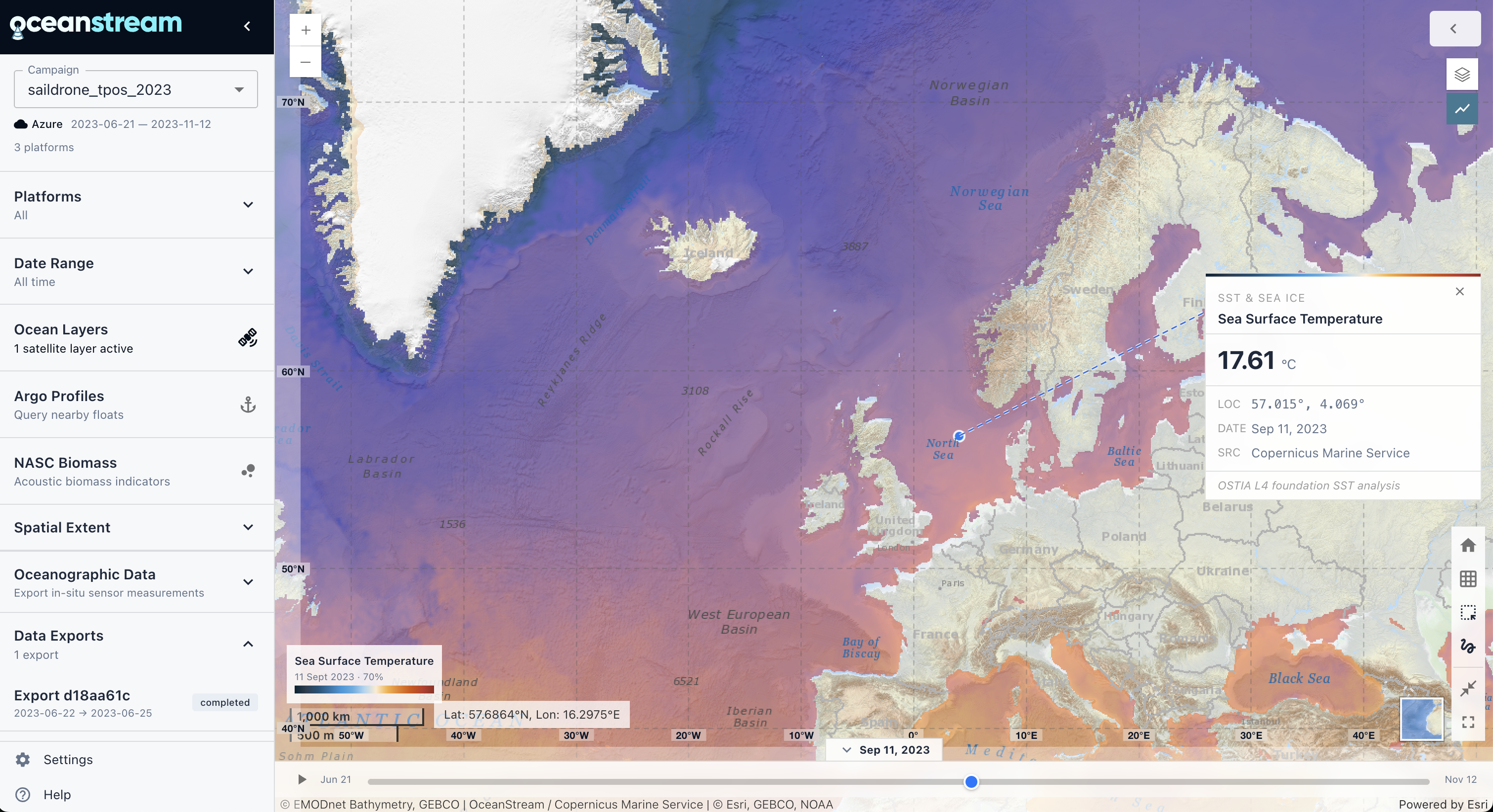
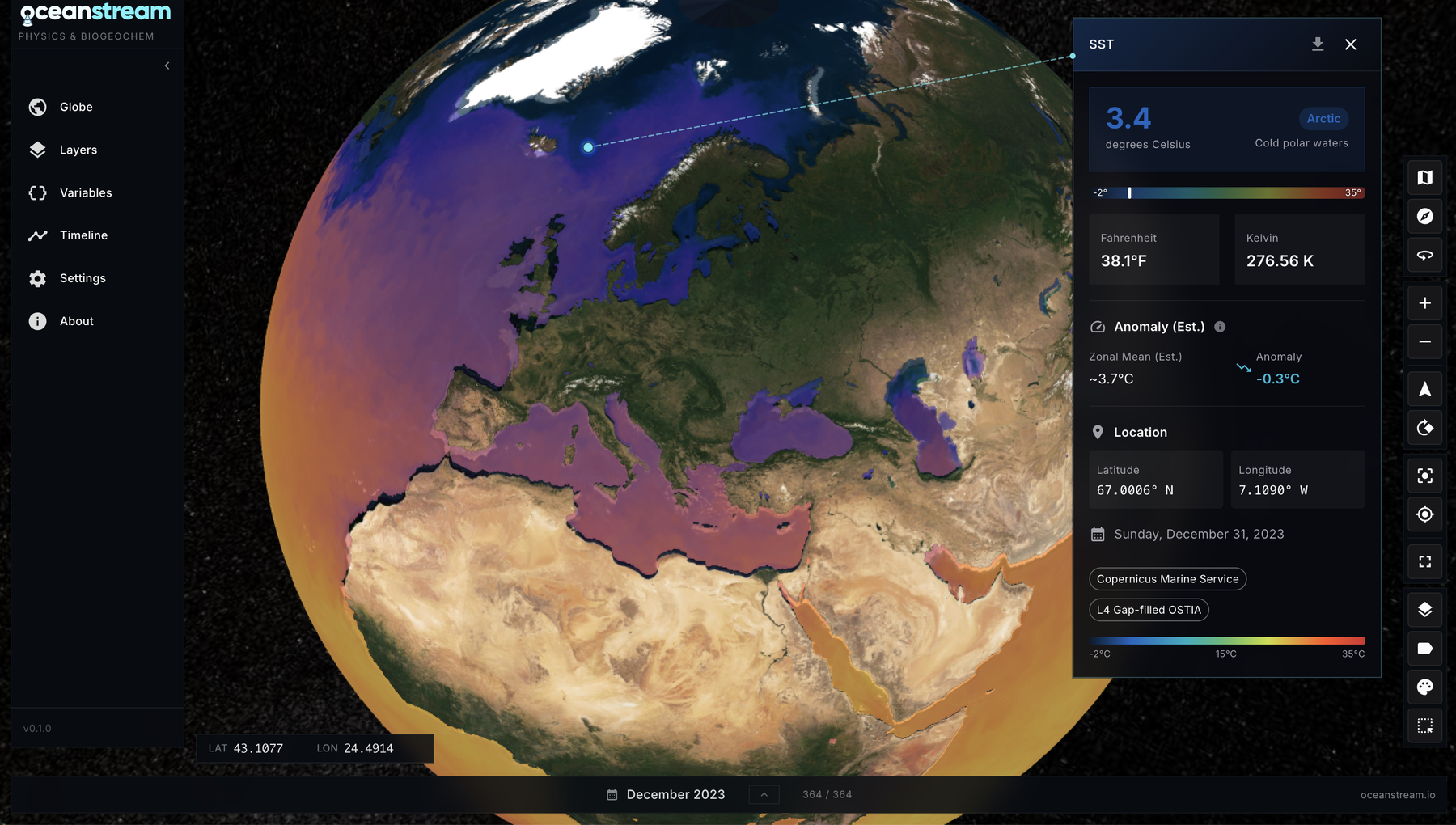
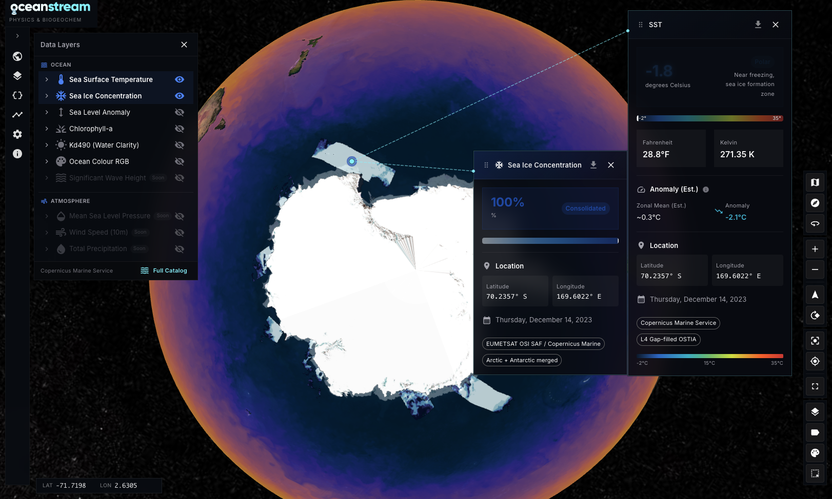
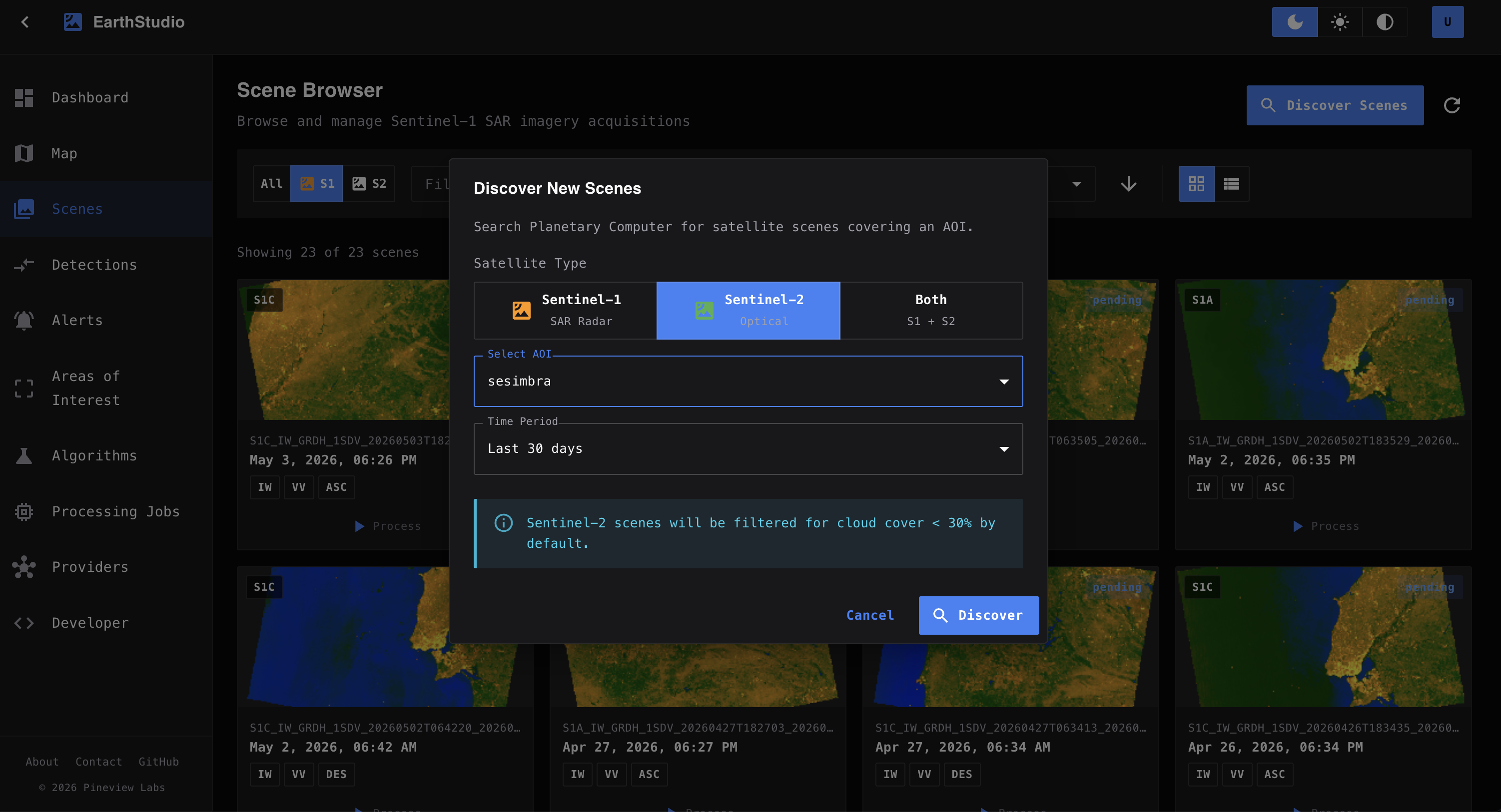
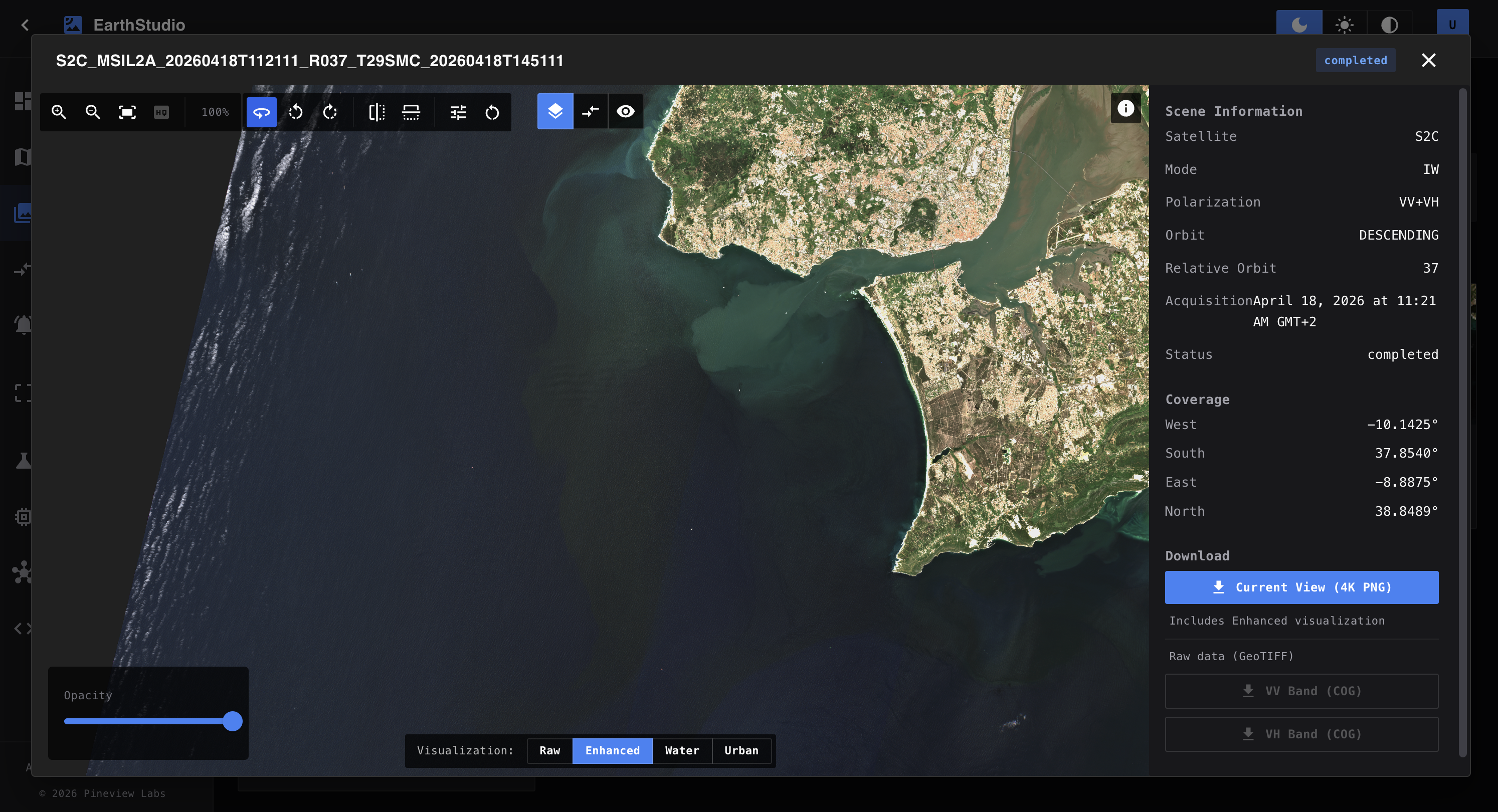
Our basin

Atlantic & Arctic, with demonstration sites spanning Norway to Iberia.

Platform 01 / Data & Edge

OceanStream

Edge acquisition from marine platforms coupled with Earth Observation, automated processing, real-time telemetry, and geospatial visualisation.

Live oceanstream.io/explore-platform TRL 6 — Field-validated
OceanStream web application overview Dashboard & campaign list
Web app overview
Campaign map
AI echogram analysis
Echogram with annotations
System architecture

From ocean sensors to real-time analytics

Collect Process Store Explore Sensors Telemetry Edge + Cloud Databases Data Catalog Web Analytics

Platform 02 / Earth Observation

OceanStream 3D Globe

Global ocean Essential Climate Variables on a 3D globe. Daily near-real-time Copernicus Marine data with time navigation, point queries, and an open ingest API for partner regional models.

Live globe.oceanstream.io TRL 5–6 — Operational preview
3D Globe with global SST layer Global SST layer with time slider
Globe SST
Globe layers panel
System architecture

Global ocean data on a 3D interactive globe

Ingest Transform Store Visualise Copernicus Partner Models Pipelines Map Tiles Analytics 3D Globe

Platform 03 / Satellite Analysis

EarthStudio

Satellite acquisition, change detection, and alert platform. Automated Sentinel-1 RTC and Sentinel-2 discovery, with multi-temporal analysis for marine and coastal monitoring.

Planned earthstudio.net TRL 5 — Active development
EarthStudio AOI Sesimbra Sentinel-1 SAR scene over Sesimbra
AOI Sesimbra
Manage AOIs
Scenes browser
Scene viewer
System architecture

Satellite imagery to automated change alerts

Acquire Detect Store Deliver Sentinel S1 SAR Sentinel S2 High-res Optical Analysis Database Alerts Dashboard

Active Research — 2026

Two funded projects building the evidence base and validating our edge–cloud pipeline in real-world marine environments.

How it works · KelpObserve

From observation to restoration — one integrated platform

Multi-source marine data flows through a single cloud platform to produce actionable habitat maps, open datasets and decision-support tools for the Nature Restoration Law and EU Ocean Mission targets.

KelpObserve from field observations to policy outcomes A flat three-column illustration showing satellite and vessel observations flowing into the OceanStream platform and out to coastal managers, policy reporting and open science. OBSERVE UNDERSTAND PROTECT Kelp forest baseline Sesimbra marine park · three 2026 campaigns OceanStream shared data workspace Combine one evidence base Analyse AI-assisted habitat classification Map seasonal layers and indicators Share open FAIR access Decision support for restoration Outputs are designed for people who need evidence, not raw data. Coastal managers Kelp canopy maps for restoration planning and marine protected area management Policy reporting Indicators for EU Ocean Mission targets and Nature Restoration Law evidence Open science Reusable datasets and notebooks for researchers, educators and citizens
Sesimbra · Portugal

Research 01 / Coastal kelp forests

KelpObserve — AQUASERV

First open multi-modal benchmark dataset for European natural kelp forests. Three seasonal campaigns at Sesimbra fusing optical imagery, diver ecology, CTD profiles and Copernicus Sentinel-2/3 to train canopy detection models.

AQUASERV Transnational Access — Horizon Europe
Host CCMAR — Centre of Marine Sciences, University of Algarve
Campaigns June · July · September 2026 — three 4-day field weeks
Methods Boat optical transects · diver belt-transects + photo-quadrats · CTD/turbidity · Sentinel-2/3 fusion
  • Open ML-ready FAIR benchmark dataset for European kelp forests
  • CNN / attention models for canopy cover, height & biomass classes
  • Copernicus EO–in situ regression for scalable mapping
  • Methods + data-descriptor papers co-authored with CCMAR
Hitra · Norway

Research 02 / Aquaculture monitoring

Seaweed Farm Watch

Automated seaweed-farm monitoring using uncrewed surface vehicles (USVs) with sonar and camera payloads. The OceanStream edge–cloud pipeline estimates harvestable kelp biomass from canopy growth, validated at Skarvøya farm operated by SINTEF Ocean.

Akershus fylkeskommune
Regional Innovation Grant — NOK 750,000
R&D supplier SINTEF Ocean AS
Duration Q1 – Q4 2026 · 12 months
Sites Skarvøya seaweed farm, Hitra (Ping360 USV trials)
  • IoT Edge modules for Ping360/EK80 acoustic ingest on USVs
  • Benchmark water-column dataset from EK80 buoy deployment
  • Sonar biomass estimation validated against stereo-camera ground truth
  • ML feasibility study + TRL 6 verification + commercialisation plan

Technology Stack

Frontend
React 18 · MUI 6 · MapLibre GL · CesiumJS · ArcGIS JS
Backend
FastAPI · SQLAlchemy · Pydantic · Rasterio · GeoAlchemy2
Database
PostgreSQL + PostGIS · Redis
Processing
Prefect 3 · Dask · echopype · xarray · NumPy · scikit-learn · PyTorch
Cloud
Azure (AKS · Blob Storage · IoT Hub/Edge · Monitor)
Tile serving
Martin (PostGIS vectors) · TiTiler (COG)
Formats
GeoParquet · PMTiles · COG · Zarr · STAC · SONAR-NetCDF4
Edge
NVIDIA Jetson Orin NX · Azure IoT Edge · Ollama (Gemma 3 8B)
EO sources
Copernicus Marine Service · Planetary Computer STAC · ESA Third Party Missions

Open Source — oceanstream

Core processing engine. The geotrack module converts raw sensor files to GeoParquet + PMTiles + COG heatmaps. The echodata module handles raw EK80 → calibrated Sv → MVBS / NASC → echograms. Built on echopype.

github.com/OceanStreamIO/oceanstream

Interested in collaborating?

We're building a consortium for MISS-2026-03-OCEAN-01 (Atlantic basin) and open to partnerships in marine habitat mapping, EO integration, and autonomous ocean monitoring.

Get in touch
Please enter at least 3 characters 0 Results for your search